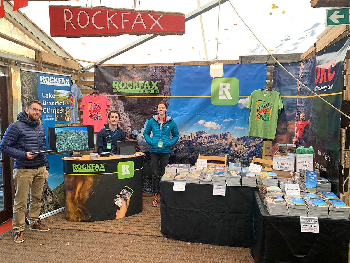
After a very successful three days at Kendal we received a lot of extremely positive feedback on our guidebooks and app. It was great to meet everyone who came to the stand and thanks all for your comments.
We love making guidebooks and we continually strive to make them better. Each detail is thought about before and after we introduce it and we are continually reflecting on what we do to make sure we are publishing the best possible climbing information using the most up-to-date and relevant technologies.
What is it that makes Rockfax guidebooks so good?
Here are some of the design features we concentrate on when making a Rockfax guidebook. Please feel free to get in touch if you think that there are areas where we can improve, or if you think we have missed something that attracts you to Rockfax guidebooks.
- Route descriptions and topos always on the same page.
- Routes always listed left to right with page geography that reflects what is in front of you (ie. turn the page to the right and look right, turn it left and look left).
- Topos properly split across the spine of the book so detail isn’t lost in the fold.
- Clear crag, buttress and route symbols that are easy to use and not continually being added to from book to book.
- Colour-coded grade bands to enable you to quickly assess what a crag has to offer at your ability level.
- Cross-referenced routes on adjacent topos to help put the main topo you are looking at into context.
- Route descriptions made as autonomous as possible so that you don’t need to read the previous routes in order to track down where you are.
- Consistent use of approach and descent information in the same place so it is always easy to find.
- Clear and detailed climbing-specific maps, either never more than a page or two away, or clearly referenced to a page elsewhere.
- QR codes used with parking spots to enable quick phone navigation.
- Maps with north always at the top and geo-accurate (ie. everything is to scale).
- Cross-referenced page numbers all over the book so that you can find anywhere on a map or overview without going to the index/contents.
- Double cross-referenced action photos so you can find the description from the photo, and the photo from the description.
- Standard use of arrows and text on topos to ensure clear approaches and descents are obvious.
- Massive detailed photo-topos taking using the best photography techniques available and printed as big as possible.
- Contents ‘thumb tabs’ to allow quick navigation without going to the contents page.
- Everything linked to online versions so that you can tick the routes in your UKC logbook and give feedback.
- Destination Planner tables to help choose a crag based on grade-spread, approach and weather conditions.
- All available in digital and print form.
