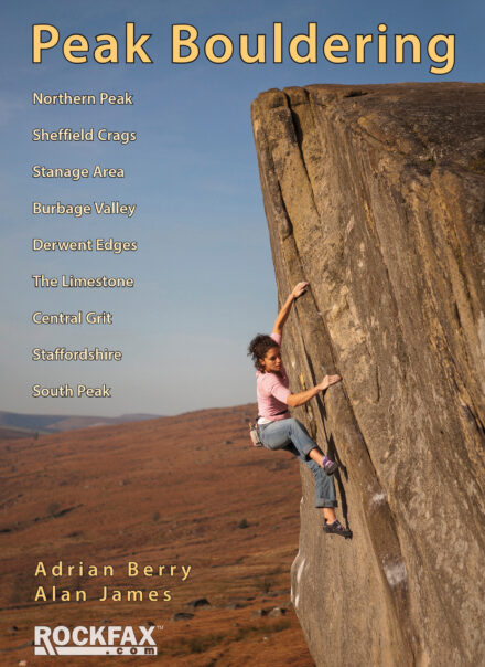
We have finally managed to prepare the Peak Bouldering book for the Rockfax App. We had initially had some problems due to duplicated information and the slightly different format this book was in but this has been solved and the full book is now available via the Crags > Downloads tab.
Geo-located Maps
One of the benefits of waiting this long is that we have been able to take advantage of the new geo-located map ability. This means you can now see yourself on the Rockfax detailed crag maps as a blue dot and it has the bonus of only needing a GPS signal, which is more reliable than the 3G/4G signal in countryside areas.
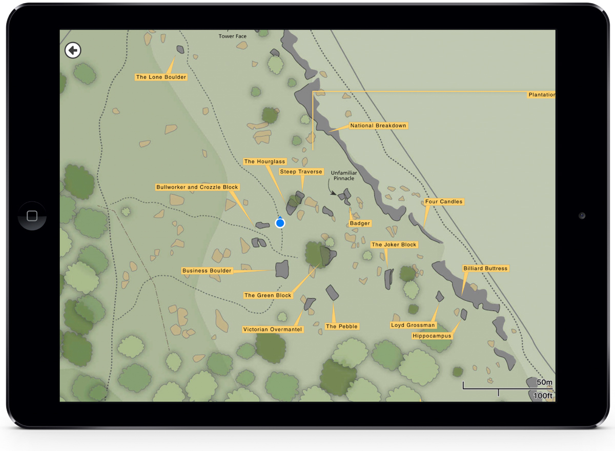
In testing we found it to be accurate to around 5m or so which was a great help when trying to find specific boulders. New maps have been created for Stanage Plantation, Millstone area and the central gritstone around Cratcliffe and Stanton Moor and all the other maps have been updated to work with geo-location.
Eastern Grit and Peak Limestone
We have also updated Eastern Grit and Peak Limestone with geo-located maps. To update these packages you will need to update the app to version 2.0 – more info here. Some problems previously covered in Eastern Grit and Peak Limestone have been moved to Peak Bouldering since it isn’t possible for a route/problem to feature in two app packages. This is mostly hard problems and the significant ones have been indicated on the topos in the updated crag packages.